Groundbreaking satellite image reveals cloud dynamics from orbit
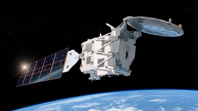
In May, the European Space Agency launched a research satellite named EarthCARE into orbit. It has successfully sent the first picture back to Earth. The device studies the impact of clouds and aerosols on the atmosphere.
2 July 2024 07:51

The picture sent by EarthCARE is considered exceptional by the people at the ESA because, for the first time in history, it has been possible to look inside clouds from space, revealing their structure and dynamics. Therefore, the instrument provided by JAXA is expected to help us understand clouds more.
"We are thrilled to be able to present this first image, which reveals detail on the internal structure of cloud dynamics over the ocean, east of Japan on 13 June," says Takuji Kubota, an expert from JAXA.
"This is the first image of its kind – we have never had this kind of information measured from space before. It is all we hoped for, and more. I believe that the cloud profiling radar will bring various scientific discoveries," he adds.
First image from EarthCARE
The picture provides information about the density of water droplets, snow, and ice-forming clouds and their falling speeds. It shows a clear boundary at 5 kilometres, below which snow and ice melt and turn into rain. This represents a huge advancement compared to typical satellite images of clouds.
Until now, this type of data could only be obtained with the help of ground-based radars or those mounted on particular aircraft. However, EarthCARE enables accurate, routine analysis of cloud cover across the entire Earth.
"This is a fantastic first result from our JAXA partners, and a true indication of what we can expect in the future when the satellite and all of its instruments are fully calibrated and commissioned," emphasizes Simonetta Cheli, Director of Earth Observation Programmes at ESA.
Additional satellite instruments—a multi-wavelength radiometer, an atmospheric lidar, and a multispectral camera—will be launched in the coming months. As Simonetta Cheli states, the cooperation of all four instruments is critical to the mission. This will enable a comprehensive understanding of the complex interactions between clouds, aerosols, incoming solar radiation, and outgoing thermal radiation. This, in turn, will improve the prediction of future climate trends.


