Babylonian map reveals ancient view of the world and mythology
The secrets in the Babylonian tablet, considered the world's oldest map, have been deciphered. Dated to 700-900 BC, Imago Mundi provides a unique insight into the beliefs and practices of the ancient Mesopotamian civilization.
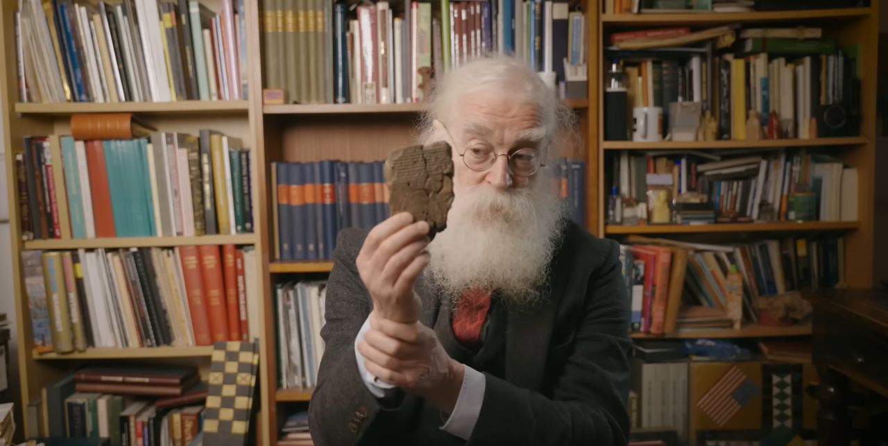


Archaeologist Hormuzd Rassam discovered the Babylonian tablet in 1882. For over a hundred years, it remained undeciphered. Thanks to the efforts of researchers from the British Museum, the knowledge inscribed on it unravelled.
The map depicts Mesopotamia at the centre, surrounded by two rings symbolising water. The people inhabiting Mesopotamia—the area where Iraq and part of Syria are now located—believed in such a "world."
Stored in the British Museum, the map indicates Mesopotamia as the "known world" surrounded by the "bitter river," reflecting the Babylonian belief about the centre of the world. Besides positioning Mesopotamia, the tablet contains descriptions of mythical creatures and outlines the universe's theories from that time.
Interestingly, the map also includes areas outside the centre, such as Assyria, Der, and Urartu, which attests to the Babylonians' extensive geographical knowledge. On its edge, mountains are also depicted, where, according to the inscription, "the Sun is not seen," which could imply further unknown territories.
In addition to geographical records, the tablet contains descriptions of mythical creatures such as a winged horse, a sea serpent, and a man-bull. This illustrates the richness of Babylonian mythology. According to experts from the British Museum, the text on the tablet also describes the inhabitants of these distant areas, both divine and human.
Imago Mundi is an ancient map which not only opens the door to understanding Babylonian cosmology and geography but also attests to the intellectual and scientific advancement of that ancient civilization.
The Babylonian map of the world is the oldest map of the world, in the world. Written and inscribed on clay in Mesopotamia around 2,900-years-ago, it is, like so many cuneiform tablets, incomplete - remarked Dr. Irving Finkel from the British Museum.